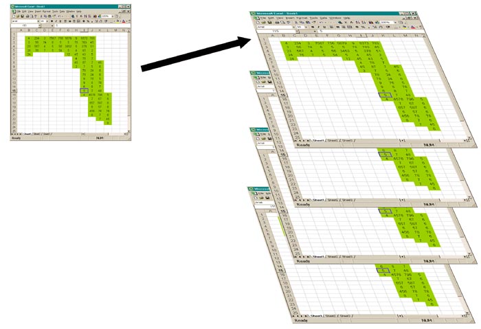
The GIS is a computerized geo-referenced database that is specifically designed for spatial data. Shown is a raster, or pixel, based system. Simply put, it works like an enormous database with each data-layer (e.g. soils or rainfall) being a record with several thousand (259,200 for a 0.5 X 0.5 deg. grid) fields, each one being a point (cell or pixel) in a grid covering the entire earth. Because each of these pixels has a value (e.g. oxisol or 1400 mm/yr) and because each plant also occupies a specific spatial position on earth (a pixel in our grid) we can find the range of soils or rainfall or any other spatial parameter occupied by that plant simply by having a database of localities (or pixels) in which it occurs.